Kanpur Nagar - India
|
Authors: Y.S. Rawat, et al.
|
Created: 2023
|
Resp: Y.S. Rawat
|
Description:
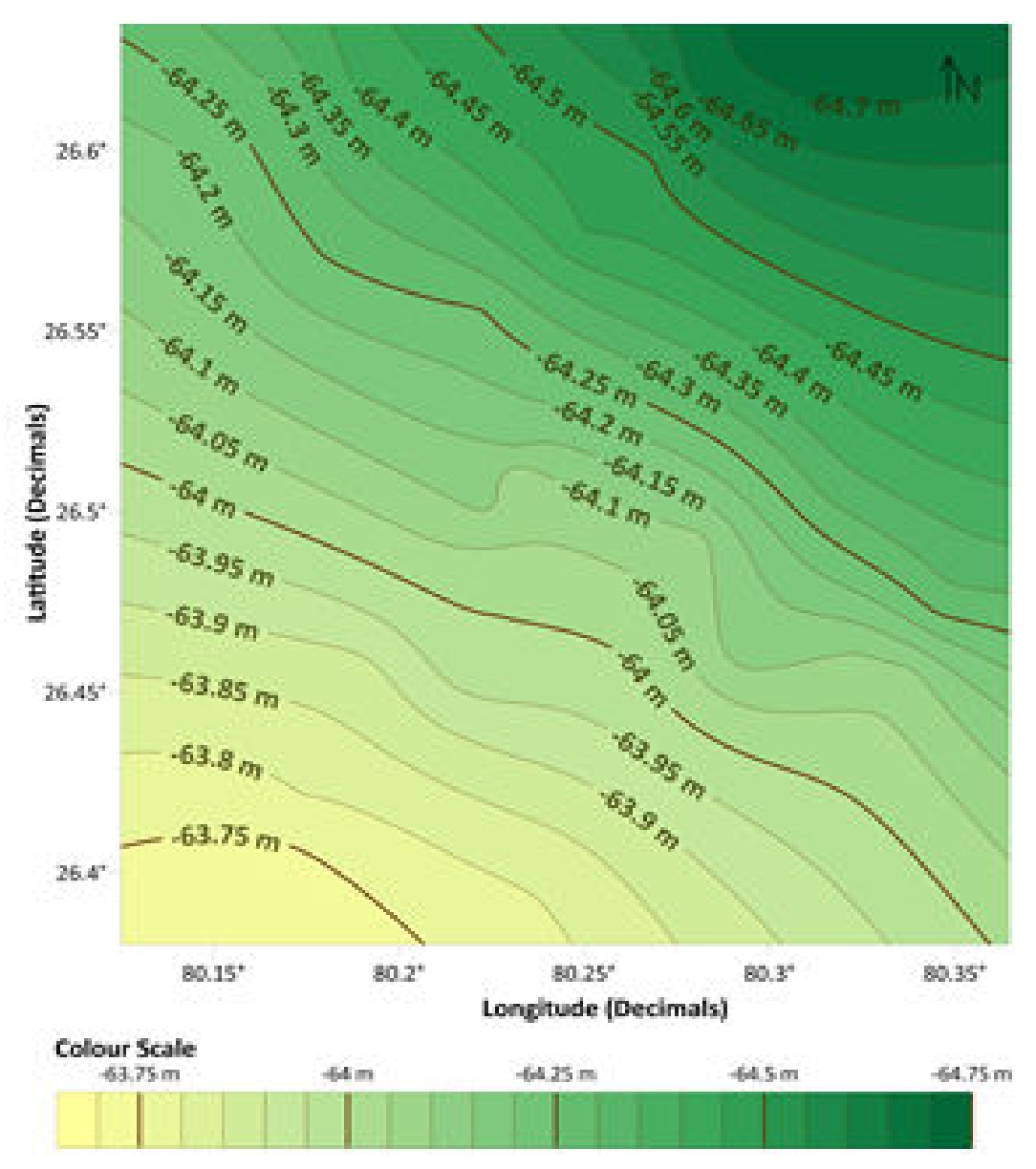
This local geoid model covers the Kanpur Nagar district and part of the Unnao district and the Kanpur Dehat district, corresponding to an area of about 25 km (East-West) × 28 km (North-South). The model was computed by interpolating GNSS/levelling values at 35 Ground Control Points (GCPs). Kriging interpolation method was used to obtain a geoid undulation model above the WGS84 ellipsoid on a grid size of 10 × 10 arc-second. The accuracy was evaluated by dividing the GCPs into five groups and performing a five-fold cross-validation (namely taking four groups as training data-set and the remaining one as testing data-set). This leads to an estimated accuracy of 4.4 cm.
Reference:
Y.S. Rawat, S. Rawat, O. Dikshit, B. Nagarajan (2023). Geoid modelling of Kanpur Nagar and adjacent areas using geometric method . International Journal of Advancements in Technology, 14, 228.
Web of Science ID:
DRCI:DATA2025147033766697
|
|

